To find geothermal energy pockets, begin with geological surveys to detect subsurface structures and pinpoint potential reservoirs. Measure temperature gradients to locate heat sources and guide drilling efforts efficiently. Use seismic imaging to map underground structures and identify reservoir characteristics for best extraction. Analyze water and rock composition for geothermal indicators like silica and sodium. Observe surface manifestations such as hot springs and steam vents as visible clues. Explore advanced methods like seismology and remote sensing for enhanced geothermal discovery. Sustainable energy production from geothermal pockets near tectonic plate boundaries is achievable with these methods.
Key Takeaways
- Conduct seismic surveys to identify subsurface structures.
- Analyze temperature gradients for heat source detection.
- Utilize water and rock composition analysis for geothermal indicators.
- Monitor surface manifestations like hot springs and steam vents.
- Employ advanced exploration methods such as seismology and remote sensing.
Geological Surveys for Geothermal Exploration
To start exploring geothermal potential, geological surveys utilize seismic data to identify subsurface structures and potential reservoirs. These surveys play a pivotal role in geothermal exploration by mapping out the geological features underground.
By analyzing seismic data, experts can pinpoint potential geothermal reservoirs where hot water and steam are trapped within the Earth's crust. Additionally, gravity and magnetic surveys are employed to detect areas with high heat flow and geological anomalies, which are indicative of geothermal activity. These surveys help narrow down the search for viable geothermal resources and guide further exploration efforts.
Understanding the subsurface geological conditions is essential in determining the feasibility of geothermal projects. Through a combination of geological surveys and geophysical techniques, scientists can create detailed maps that showcase the most promising areas for geothermal energy extraction.
Temperature Gradient Measurements in Geothermal Prospecting
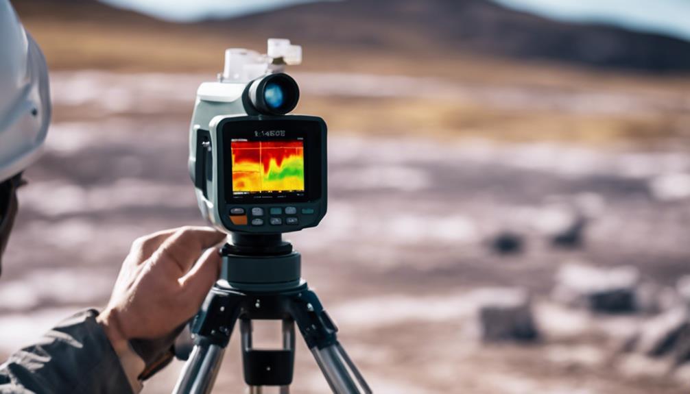
Geothermal prospectors monitor temperature gradients to pinpoint potential reservoirs for extracting geothermal energy. By analyzing how temperature changes with depth in the Earth's crust, geologists can identify variations that signal the presence of subsurface heat sources suitable for geothermal energy extraction.
Understanding temperature gradients is vital for locating and evaluating the viability of geothermal energy resources. The rate at which temperature increases with depth serves as a key indicator for geothermal prospecting, helping geologists determine the most promising locations for drilling and harnessing geothermal energy.
Variations in temperature gradients provide valuable insights into the presence of geothermal reservoirs, guiding prospectors towards areas with the highest potential for successful geothermal energy extraction. Monitoring temperature gradients is an essential step in the exploration and development of geothermal energy resources, enabling the efficient utilization of this renewable and sustainable energy source.
Seismic Imaging Techniques for Geothermal Mapping
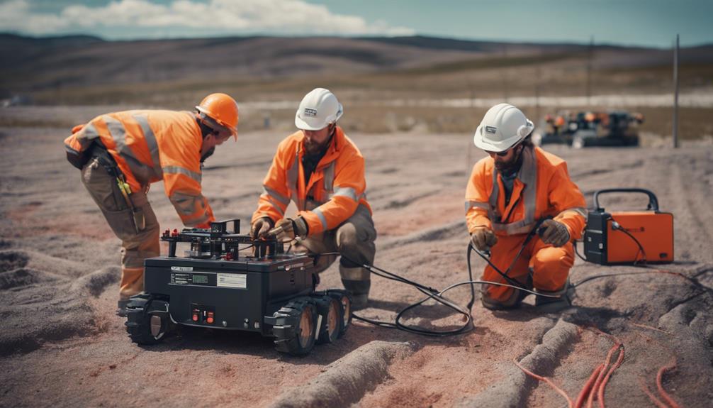
You can learn about how seismic imaging techniques utilize sound waves to map underground structures and pinpoint potential geothermal reservoirs. These surveys analyze wave reflections and velocities, providing essential data for geothermal exploration.
Seismic Imaging Basics
Using seismic imaging techniques is vital for mapping subsurface geothermal structures accurately. Reflection seismology, a widely used method, involves analyzing seismic waves bouncing off underground rock layers to create detailed images of the subsurface. This technique helps geologists identify different geological formations and potential geothermal reservoirs.
On the other hand, seismic tomography focuses on measuring seismic wave velocities to pinpoint areas with high geothermal potential. By combining these methods, geoscientists can enhance their understanding of the underground structures and improve the accuracy of geothermal mapping.
These advanced seismic imaging technologies play an essential role in locating geothermal pockets for exploration and development. By utilizing sophisticated equipment and software, researchers can create 3D models of the subsurface, allowing for a more thorough analysis of geothermal resources.
Mapping Applications
Utilizing advanced seismic imaging techniques is important for accurately mapping subsurface structures in geothermal exploration projects. Reflection seismology, a key method, involves sending seismic waves into the ground and analyzing their reflections to identify rock layers and potential geothermal reservoirs.
Additionally, seismic tomography plays a significant role by creating detailed 3D images of the subsurface through the analysis of seismic wave velocities. These techniques aid in pinpointing fault lines, fractures, and reservoir characteristics critical for successful geothermal energy extraction.
Geothermal mapping with seismic imaging not only helps locate geothermal pockets but also optimizes drilling efforts by providing valuable insights into the subsurface geology. By leveraging advanced seismic technologies, geothermal exploration teams can enhance their understanding of subsurface structures, making informed decisions that increase the chances of successful geothermal projects.
Water and Rock Composition Analysis

When analyzing water and rock compositions for geothermal exploration, you'll be evaluating water chemistry, inspecting rock composition, and examining geochemical characteristics.
These aspects provide essential clues about potential geothermal reservoirs and aid in pinpointing areas rich in geothermal energy.
Analyzing Water Chemistry
To identify potential geothermal energy pockets, analyzing water chemistry involves studying the composition of water and rock formations. Water chemistry analysis plays a pivotal role in determining the presence of minerals, gases, and other indicators of geothermal activity.
Elements like silica, sodium, potassium, and chloride are key markers that can suggest the proximity of geothermal reservoirs. Additionally, isotopic ratios of elements found in water samples offer valuable insights into the geothermal potential of a given area.
By combining water chemistry data with geophysical exploration techniques, experts can pinpoint ideal locations for drilling geothermal wells. This integrated approach enhances the accuracy and efficiency of identifying geothermal energy pockets.
As a result, thorough water chemistry analysis is crucial in the early stages of geothermal exploration to increase the likelihood of successful geothermal energy extraction.
Rock Composition Assessment
Rock composition evaluation is a basic aspect of identifying potential geothermal energy pockets through water and rock composition analysis. Assessing the composition of rocks beneath the Earth's surface provides essential insights into the thermal conductivity and permeability of the geological layers. By understanding the geology and chemistry of rocks, you can pinpoint areas with suitable conditions for geothermal energy production. This evaluation is essential for determining the viability and potential output of geothermal projects.
To illustrate the importance of rock composition evaluation, consider the following table showcasing key factors influencing the identification of potential geothermal reservoirs:
| Factors | Influence on Geothermal Exploration |
|---|---|
| Rock Composition | Indicates thermal conductivity |
| Permeability | Affects fluid flow in the reservoir |
| Mineral Content | Correlates with water composition |
Analyzing these factors through rock composition evaluation guides the search for best locations for geothermal energy extraction. By focusing on these aspects, you enhance the chances of successfully harnessing geothermal energy from underground reservoirs.
Geochemical Characteristics Evaluation
Evaluating the geochemical features of water and rock composition is vital for pinpointing potential geothermal energy pockets. By analyzing water composition, including temperature, pH, conductivity, and chemical makeup, experts can evaluate the characteristics of geothermal reservoirs in a specific area.
Similarly, examining rock samples for mineral content, isotopic composition, and alteration patterns provides valuable insights into the presence of geothermal activity. This geochemical analysis is instrumental in determining the heat source, flow paths, and recharge areas within geothermal systems.
Understanding the geothermal fluid dynamics through water and rock composition analysis is essential for appraising the resource potential of a region accurately. By delving into the geochemical characteristics of water and rock composition, researchers can gain a thorough understanding of the geological processes at play and identify promising locations for harnessing geothermal energy efficiently.
Surface Manifestations of Geothermal Energy
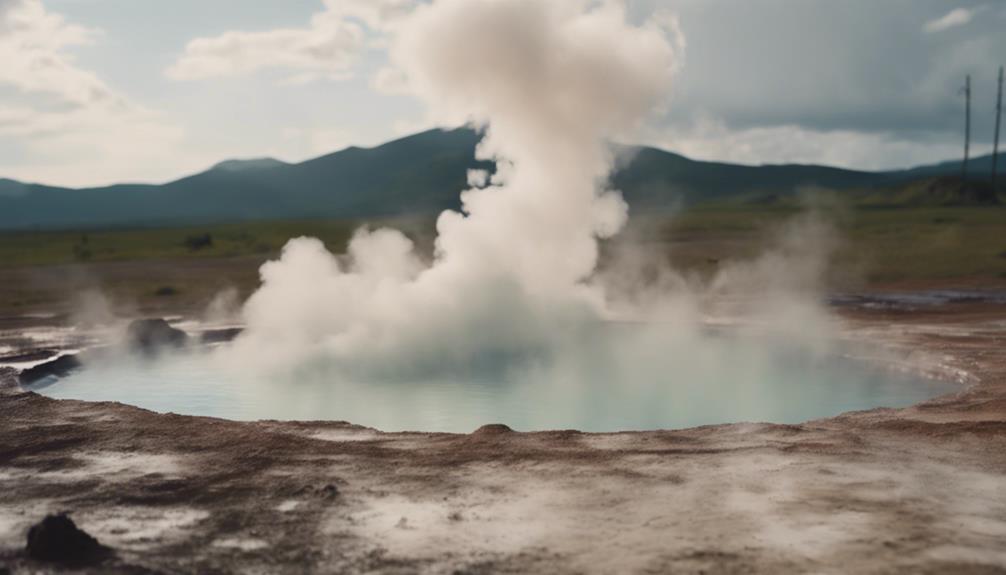
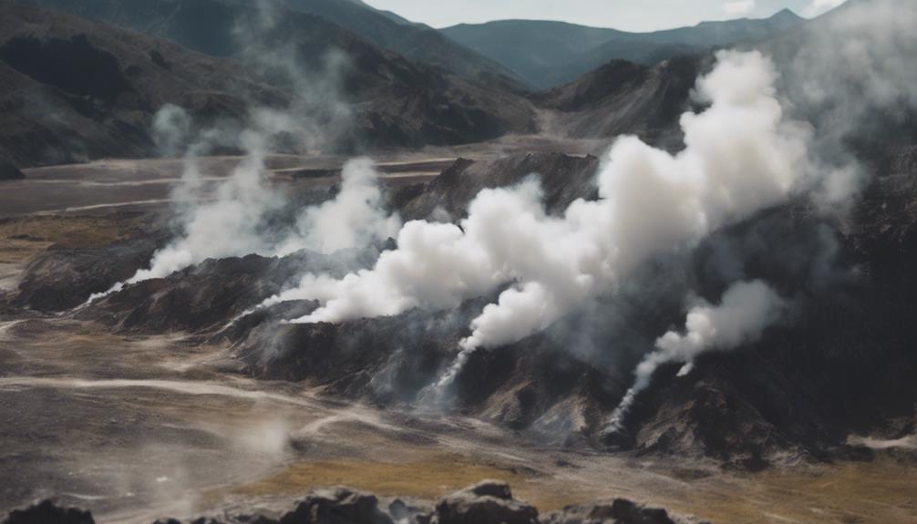
Surface manifestations of geothermal energy, such as hot springs, steam vents, fumaroles, and mud pots, serve as visible indicators of underground reservoirs with high temperatures. When exploring geothermal potential, keep an eye out for these key features:
- Hot Springs: These natural thermal pools are a common surface expression of geothermal activity, offering opportunities for relaxation and recreation while hinting at the presence of underground heat sources.
- Steam Vents: Visible steam emissions suggest the presence of hot subsurface fluids that can be utilized for geothermal energy production.
- Fumaroles and Geysers: These features result from the interaction of hot water and rocks deep underground, providing further clues about the location of geothermal reservoirs.
Advanced Exploration Methods for Geothermal Discovery
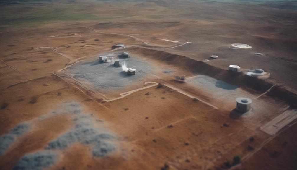
To boost geothermal exploration precision, innovative geophysical methods such as seismology and remote sensing are employed. These cutting-edge exploration technologies have transformed geothermal exploration by lowering drilling costs and improving success rates in locating geothermal pockets.
Geochemistry also plays a significant role in pinpointing geothermal bodies by examining surface fluid properties and geological data. During geothermal exploration, thermal gradient holes and exploration wells are drilled to collect reliable data on temperature gradients. It's crucial to note that geothermal wells typically don't exceed 4km in depth, with exploration continuing until successful production wells are drilled.
Sustainable Energy Production From Geothermal Pockets

Geothermal energy production from identified pockets is vital for achieving sustainable energy goals and reducing dependence on fossil fuels. Utilizing these renewable energy sources not only helps in combating climate change but also guarantees a cleaner and greener future for generations to come.
To effectively harness the potential of geothermal pockets, consider the following:
- Geological Surveys: Conduct thorough geological surveys to identify suitable locations with high geothermal potential. Understanding the subsurface characteristics is essential for sustainable energy production.
- Proximity to Tectonic Plate Boundaries: Focus on areas near tectonic plate boundaries as they're hotspots for geothermal activity. These regions offer a prime opportunity for tapping into the Earth's natural heat.
- Utilizing Advanced Technologies: Embrace advanced exploration methods like magnetotellurics and gravity surveys to pinpoint geothermal reservoirs accurately. Leveraging technology enhances the efficiency of locating and harnessing geothermal energy for sustainable power generation.
Frequently Asked Questions
Where Are Geothermal Locations Found?
Geothermal locations are found in volcanic regions along tectonic plate boundaries. Prime areas include the Pacific Ring of Fire and East Africa's Rift Valley. Reservoirs are near active or dormant volcanoes due to crust interactions.
How Far Down Do You Have to Dig to Get Geothermal Energy?
To harness geothermal energy, you'll need to dig deep! Depths vary from 500 to over 10,000 feet depending on local factors. For residential setups, 500-1,500 feet may suffice, but for commercial plants, it's 5,000-10,000 feet or more!
Is Geothermal Energy Easy to Find?
Finding geothermal energy pockets isn't easy, but with proper techniques like geophysical surveys and geological analysis, you can locate potential reservoirs. By examining temperature gradients, rock formations, and using advanced exploration methods, suitable areas can be pinpointed.
How Do You Retrieve Geothermal Energy?
To retrieve geothermal energy, drill deep wells into the Earth's crust to access hot water or steam. Guarantee the geothermal fluid's temperature and flow rate are ideal. Once located, production wells bring the hot fluid to the surface for energy generation.
Can the Process of Finding Geothermal Energy Pockets Lead to Harnessing Geothermal Energy for Electricity?
The process of finding geothermal energy pockets is essential for harnessing geothermal energy for electricity. By locating these natural reservoirs of heat beneath the Earth’s surface, we can efficiently tap into this renewable energy source and convert it into electricity to power homes, businesses, and communities.
Conclusion
So, next time you're on the hunt for geothermal energy pockets, remember to utilize all the tools at your disposal. By combining geological surveys, temperature gradient measurements, seismic imaging techniques, water and rock composition analysis, and surface manifestations, you'll increase your chances of discovering these valuable resources.
Don't forget to explore advanced exploration methods for even greater success. Who knows, you might just uncover a sustainable energy source that could change the game.
Happy hunting!
