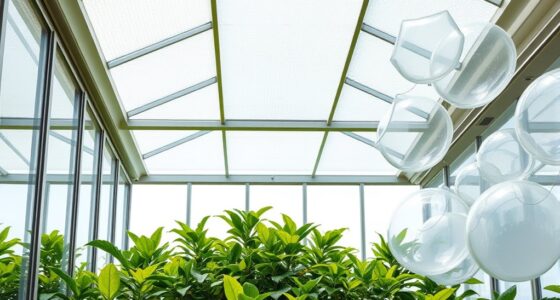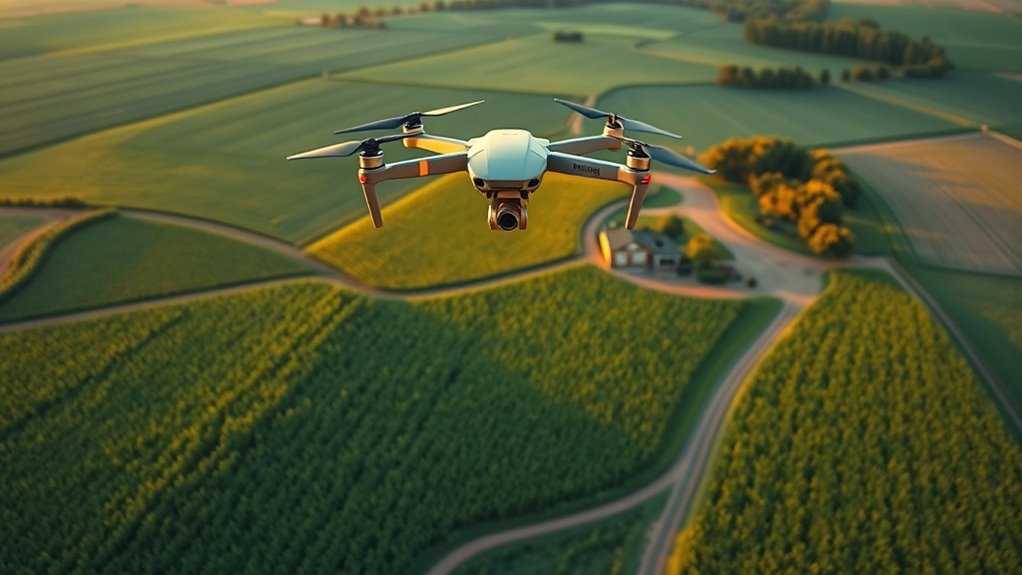
Drones and aerial imaging let you monitor your crops from above with high-resolution visuals and real-time data. They use autonomous flight, GPS, and advanced sensors to capture detailed images that reveal plant health, stress, and disease early. Automated routes and sophisticated analysis help you make precise decisions on irrigation, fertilizing, or pest control, saving time and resources. Keep exploring to discover how this technology can transform your farm management practices even further.
Key Takeaways
- Drones provide high-resolution aerial images for detailed crop monitoring and health assessment.
- Autonomous flight technology enables efficient, repeatable data collection over large farms.
- Advanced sensors like multispectral and thermal cameras detect plant stress and disease invisible to the naked eye.
- Real-time image processing offers immediate insights, supporting timely decision-making in precision agriculture.
- Automated drone operations reduce manual effort, improve accuracy, and promote sustainable farming practices.
Drones have revolutionized aerial imaging by providing accessible, high-resolution perspectives that were once difficult or costly to obtain. With advancements in autonomous flight technology, you can now deploy drones that fly pre-programmed routes, capturing detailed images without constant manual control. This automation allows you to cover large fields efficiently, reducing time and labor while guaranteeing consistent data collection. As the drone navigates your crops, it uses sophisticated sensors and GPS systems to maintain precise flight paths, avoiding obstacles and ensuring exhaustive coverage. This user-friendly operation makes it easier for farmers and researchers to utilize drone technology effectively. Additionally, integrating separation and emotional coping techniques can help operators manage stress related to large data sets and complex drone operations.
Once the drone completes its flight, the real work begins with image processing. The high-resolution images captured are fed into specialized software that stitches, analyzes, and interprets the data. Through advanced image processing techniques, you can detect subtle variations in plant health, identify areas of stress or disease, and assess overall crop vigor. This process transforms raw images into actionable insights, enabling you to make informed decisions about irrigation, fertilization, and pest control. The clarity and detail provided by these processed images help you pinpoint problems early, potentially saving crops and increasing yields. Incorporating advanced analytics can further enhance the interpretation of complex data sets for better decision-making.
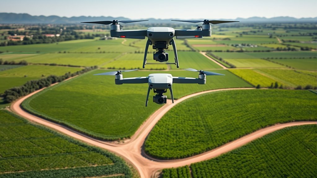
Autonomous flight paired with robust image processing creates a powerful system for crop monitoring. You don’t need to be an expert in drone piloting; instead, you set your flight plan, and the drone handles the rest. The seamless integration of autonomous flight technology ensures that flights are consistent, repeatable, and less prone to human error. Meanwhile, image processing tools allow you to analyze multispectral or thermal images, revealing information about plant health that’s invisible to the naked eye. This combination enhances your ability to monitor large areas regularly, providing a comprehensive view of your fields from above. Additionally, precise flight control and real-time data transmission can further optimize the efficiency of your monitoring process.
Furthermore, as drone technology advances, the integration of real-time image processing is becoming more common. This means you can receive immediate feedback on crop conditions during or immediately after a flight, allowing for quicker interventions. The data collected through autonomous flights and processed with sophisticated algorithms leads to precision agriculture practices, where inputs are optimized based on actual crop needs rather than estimates. You’ll find that adopting these technologies not only boosts productivity but also promotes sustainable farming by reducing waste and resource use.

DJI P4 Multispectral Agriculture Drone, 3-Axis Stabilized Camera, RGB + 5 Multispectral Sensors, RTK Module, 27-Min Flight Time, 4.4-Mile Range
MULTISPECTRAL IMAGING: Advanced 6-camera array system featuring RGB camera for visible light plus 5 specialized cameras capturing multiple…
As an affiliate, we earn on qualifying purchases.
As an affiliate, we earn on qualifying purchases.
Frequently Asked Questions
How Do Drones Impact Crop Yield Quality Over Time?
You might wonder how crop health monitoring tools affect your crop yield quality over time. Drones enhance this process by providing detailed aerial imagery, enabling you to identify issues early and optimize yields. This proactive approach improves yield prediction accuracy and helps maintain crop health, leading to better quality harvests. Over time, consistent drone use supports smarter farming decisions, ultimately boosting both yield quantity and quality for your crops.
What Are the Legal Restrictions for Drone Use in Agriculture?
Think of flying a drone as maneuvering a delicate dance with the sky. You must follow airspace regulations that restrict where and when you can fly, especially near airports and urban areas. Privacy concerns also loom, requiring respectful distances from neighbors’ properties. By staying within legal boundaries and respecting privacy, you guarantee your drone flights remain safe and compliant, letting you harness aerial insights without stirring trouble.
How Cost-Effective Are Drone Systems for Small Farms?
You might find that drone systems can be quite cost-effective for small farms, especially when you do a thorough cost analysis. While initial investment benefits include quick data collection and improved crop management, ongoing costs are relatively low. Drones save you time and resources, making them a smart addition to your farm. Overall, they offer a good balance of cost and benefits, helping you optimize your crop yields efficiently.
Can Drones Be Used for Pest and Disease Control?
Think of drones as your vigilant scout, soaring over fields to spot trouble early. You can definitely use them for pest detection and disease management, catching issues before they spread. Their high-resolution cameras and sensors provide real-time data, helping you identify infected plants and pest hotspots quickly. This proactive approach can save your crops, reduce chemical use, and boost yields, making drone technology an invaluable tool for modern pest and disease control.
How Do Weather Conditions Affect Drone Imaging Accuracy?
Weather interference can substantially impact your drone imaging accuracy. Rain, fog, or strong winds reduce imaging clarity by obscuring your view and causing vibrations or instability. Bright sunlight can create glare, making it harder to capture detailed images. To guarantee better results, you should monitor weather conditions closely, plan flights during clear, calm days, and avoid flying in adverse weather that compromises image quality and data reliability.

Agricultural Drones
As an affiliate, we earn on qualifying purchases.
As an affiliate, we earn on qualifying purchases.
Conclusion
By now, you see how drones and aerial imaging revolutionize crop monitoring. Imagine using a drone to assess a vineyard’s health after a storm, quickly identifying damaged areas. This real-time insight allows you to act swiftly, saving time and resources. As technology advances, embracing these tools will give you a competitive edge, boosting yields and sustainability. So, next time you think about farm management, consider how aerial imaging can transform your approach.

Agricultural Drone Systems for Precision Farming: Monitoring Crops and Farmland Using Autonomous Aerial Sensing Technologies
As an affiliate, we earn on qualifying purchases.
As an affiliate, we earn on qualifying purchases.

Bwine F7GB2 Pro Drones with Camera for Adults 4K UHD Aerial, 3-Axis Gimbal, 10000FT Control, 75 Mins Flight Time with 3 Batteries, GPS Follow, Waypoint, Orbit Fly, Auto Return, Beginner Mode
【FAA CERTIFIED COMPLETED】: The Bwine drone has completed remote ID certification and complies with the FAA Declaration of…
As an affiliate, we earn on qualifying purchases.
As an affiliate, we earn on qualifying purchases.